Thirty-four years on the ground.
Founded in Zaragoza in 1992. Surveyors first, systems builders since — and still the ones doing the capture.
- 1992
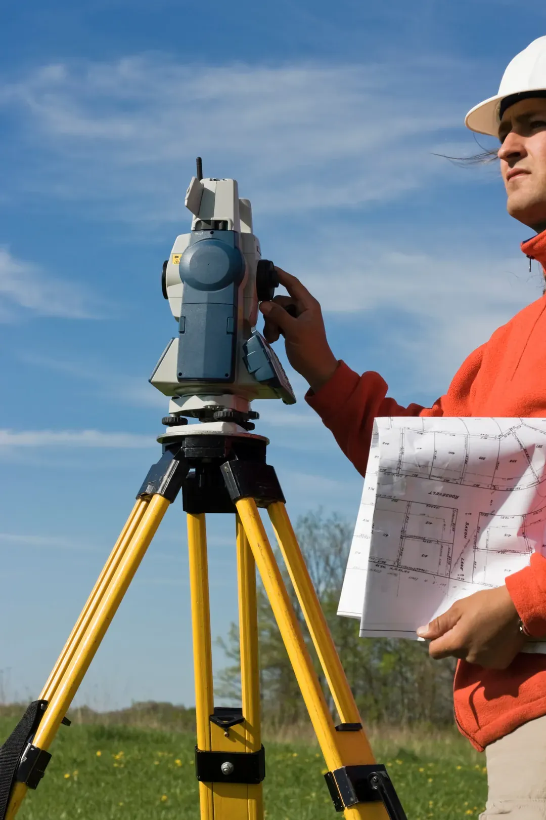
It all started on the ground.
Founded in Zaragoza, Azimutal began providing surveying and cartography services for civil engineering and territorial development. Precision in the field became the foundation of our expertise.
- 1996
From Aragón to the whole of Spain.
Our work expanded beyond Aragón, delivering surveying and cartography projects for civil engineering, infrastructure and public administrations across Spain.
- 2003
Precision became our standard.
Azimutal achieved ISO 9001 and ISO 14001 certifications, reinforcing its commitment to quality, environmental management and reliable technical processes.
- 2007
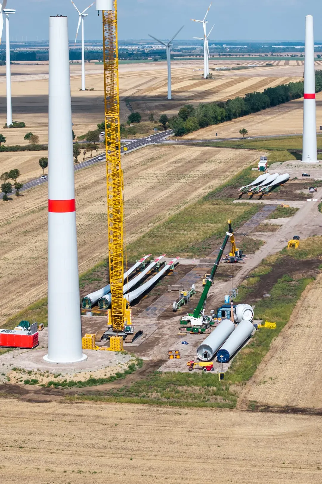
Mapping the energy transition.
Our expertise expanded into the construction and development of renewable energy infrastructure, providing surveying and cartography services for wind farms, solar plants and associated electrical networks. This sector would become a major part of our work with leading energy and engineering companies.
- 2010
Our expertise crossed borders.
Azimutal extended its activity beyond Spain, developing engineering and geospatial projects across international markets. Our project portfolio includes work in Portugal, Mexico, Chile, Guatemala and North Macedonia, among other countries.
- 2011
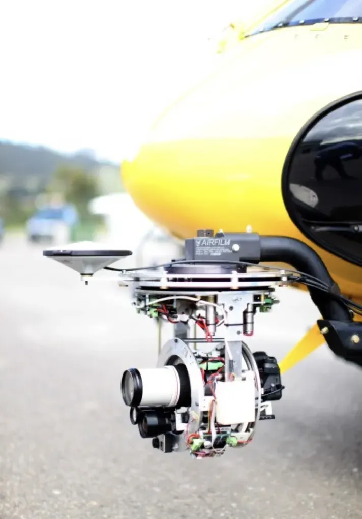
Taking our expertise to the skies.
We strengthened our aerial surveying and photogrammetry capabilities through our own flight operations, combining field measurements with aerial imagery to capture and map increasingly complex territories.
- 2014
A new role in national cadastral management.
Our experience in cartography and territorial information opened the door to large-scale cadastral projects, including work for SEGIPSA, the Spanish state-owned company supporting public property and cadastral management.

From the ground to the data.
Decades of field experience have shaped the way we work: understanding real challenges, capturing reliable data and developing the technologies to turn it into actionable intelligence.
- 2017

Developing our own ways to capture reality.
Azimutal advanced its in-house capture capabilities, combining specialised equipment, technical processes and digital tools to obtain increasingly precise and structured information from the physical world.
- 2022
Experience became innovation.
Decades of field expertise began translating into dedicated R&D programmes, exploring automated cartography, advanced measurement and dynamic sensing. Projects such as MAATHAI laid the groundwork for new technological developments.
- 2023

From infrastructure to digital intelligence.
Our work with ENEL on electrical substations brought together technical inventories, spatial information and 3D digital models, opening new opportunities in infrastructure digitalisation and asset management.
- 2024
Turning challenges into technology.
Research programmes including CHIBA and SOMOS advanced our work in automated cartography and offshore wind monitoring, connecting real engineering challenges with new technological capabilities.
- 2026

Mapping reality. Shaping decisions.
Today, Azimutal brings together four interconnected Business Areas — Geospatial Intelligence, Municipal Systems, Dynamic Sensing and Infrastructure Analytics — combining more than three decades of experience with proprietary technological developments.













And we never take that trust for granted.
We uphold that trust through our commitment to quality, environmental responsibility and continuous improvement, supported by internationally recognised management standards.
 ISO 9001Quality Management Systems
 ISO 14001Environmental Management Systems
 ISO 45001Occupational Health & Safety Management Systems
Experience drives innovation.
Over three decades of expertise have shaped our own way of turning challenges into new technological opportunities.
How We Innovate