Smarter cities start with accurate data.
Data-driven systems for municipalities and public administrations — territory, cadastre and fiscal management.
We work for the cadastre — and for the councils that depend on it.
For the Dirección General del Catastro we update the record itself. For town halls, we turn that same record into cartography, inventories and systems they can actually govern with.
Cadastral updating
What is built, declared and valued: kept current for the national cadastre.
Padrón & ownership reconciliation
Who lives where and who owns what, matched against what is really there.
Municipal cartography & inventories
Base maps, street gazetteers and every municipal asset, located and described.
GIS platforms & public viewers
The whole picture, in the hands of staff and citizens.
Behind the four services, the same techniques.
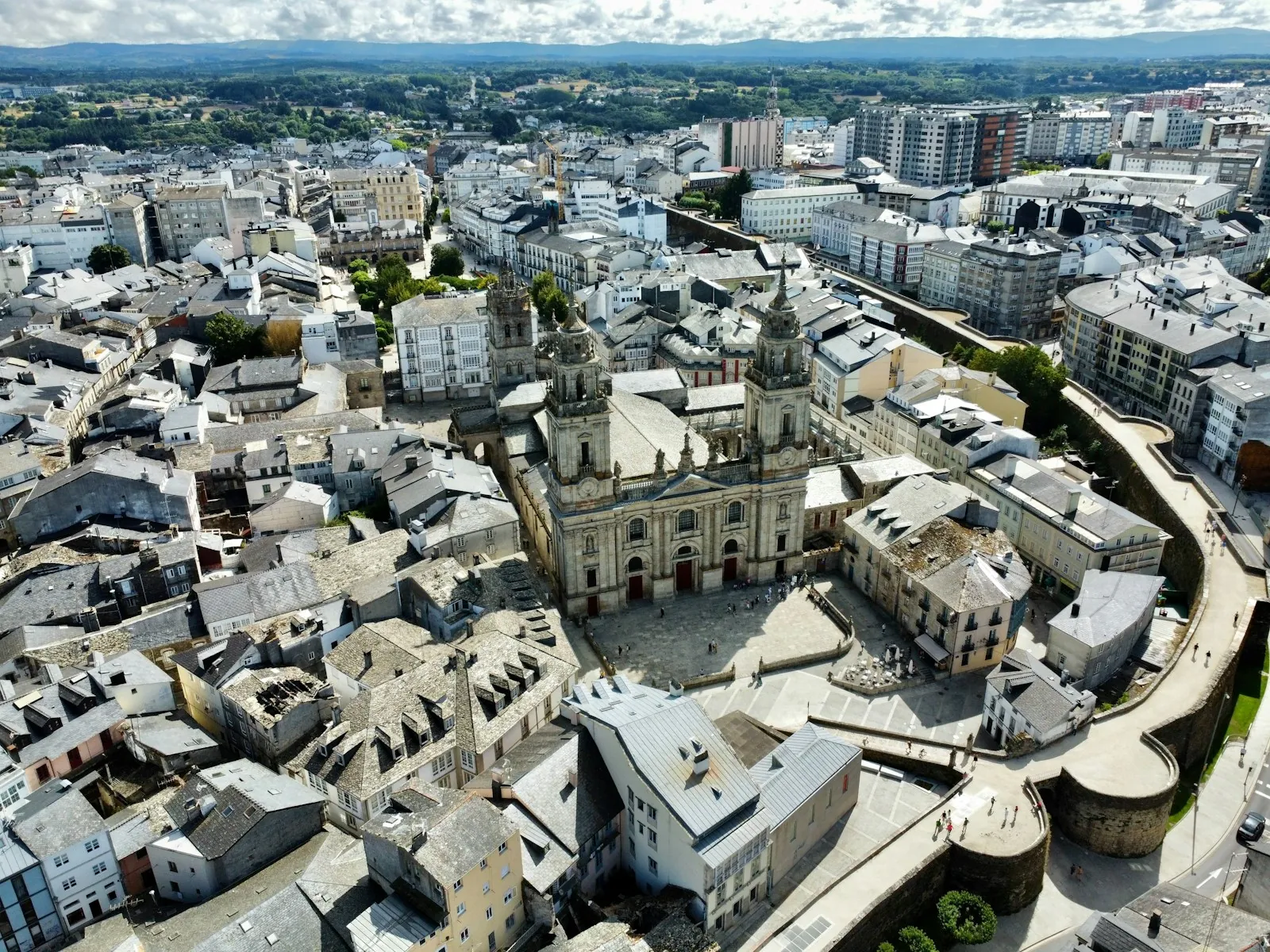
Photo-interpretation
Orthophoto against the record, to find what is built and not declared.
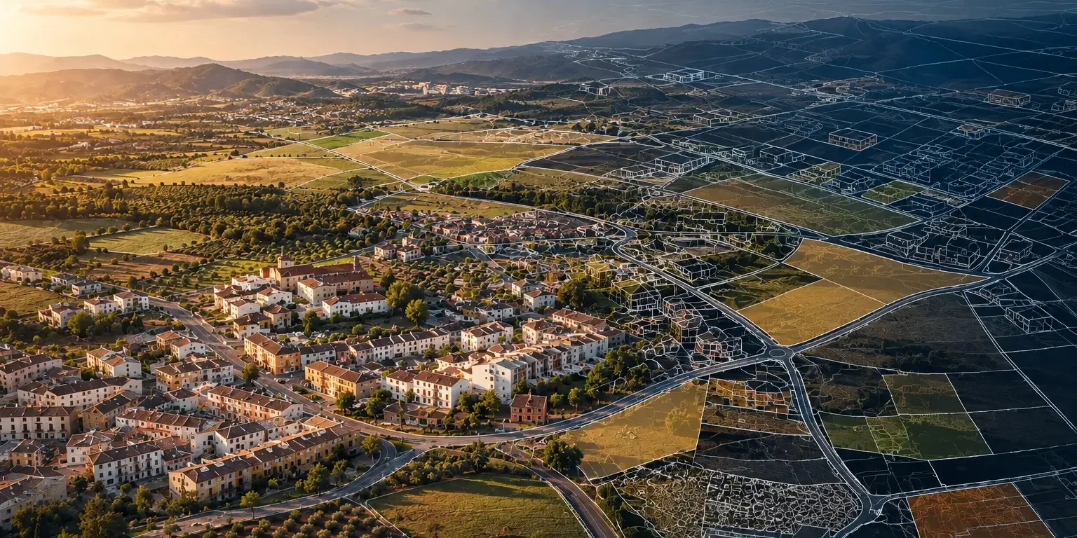
Descriptive and graphic data
Surfaces, uses, years and plans, brought up to date.
Regularisation files
When the change has to reach the national cadastre.
Fieldwork
Visiting, measuring and photographing every doubtful case.
Cross-checking
Cadastre against padrón, ownership and municipal taxes.
Delivery to the administration
Clear, usable data: fewer errors, more efficiency.
When municipal data doesn't connect.
Working with local administrations, we identified a recurring challenge: municipalities manage valuable information across disconnected systems. This fragmentation makes it difficult to detect discrepancies, maintain accurate records and improve revenue collection.

SERVICE & DIGITAL SOLUTION · IN MARKET
TaxMap
Every layer of your territory, on a single map.
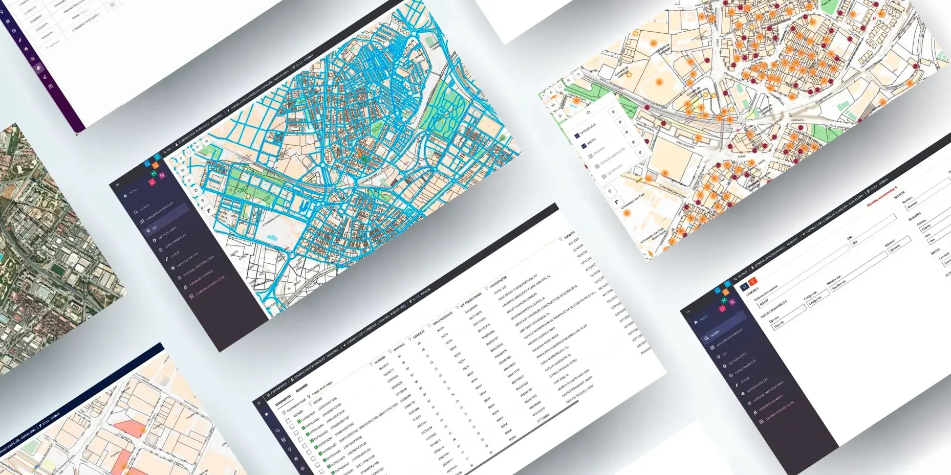
Spanish councils lose an estimated 10–15% of their local tax revenue to inefficiency: data that never gets cross-checked. TaxMap connects the council's own data and turns it into a clear, actionable reading of its territory and its revenue.
- Normalisation: your databases, in the format you already use
- Cross-checking: cadastre, padrón, vados, waste, activities, terraces
- Visualisation: a configurable dashboard on the map
Projects, notes and ideas. A look at what we're doing and what we're learning.
Let's put your administration in order.
Mayor, planning officer or cadastre technician: tell us where the records and the territory stop matching, and let's start working together.