Sensing structures in motion.
Remote metrology that reads assets while they operate — from the ground or the air, with no downtime.
We measure what others have to stop.
It started on power lines: thousands of kilometres captured from the air without cutting the power. Today the same principle applies to anything that moves, whether it is the object, the sensor or both: read in full operation, from a safe distance.
Object in motion
The sensor stays on the ground; the asset keeps working. Wind-turbine blades, rotating machinery, any structure that cannot stop to be measured.
Sensor in motion
The asset stands still; the sensor travels along it. Power lines, pipelines and linear infrastructure captured from the air or from a vehicle, kilometre after kilometre.
Both in motion
Sensor and asset moving at once: offshore platforms, or assets read from a moving vehicle or aircraft. The hardest case — and the one this Business Area was built for.
Four technologies for what never stops.
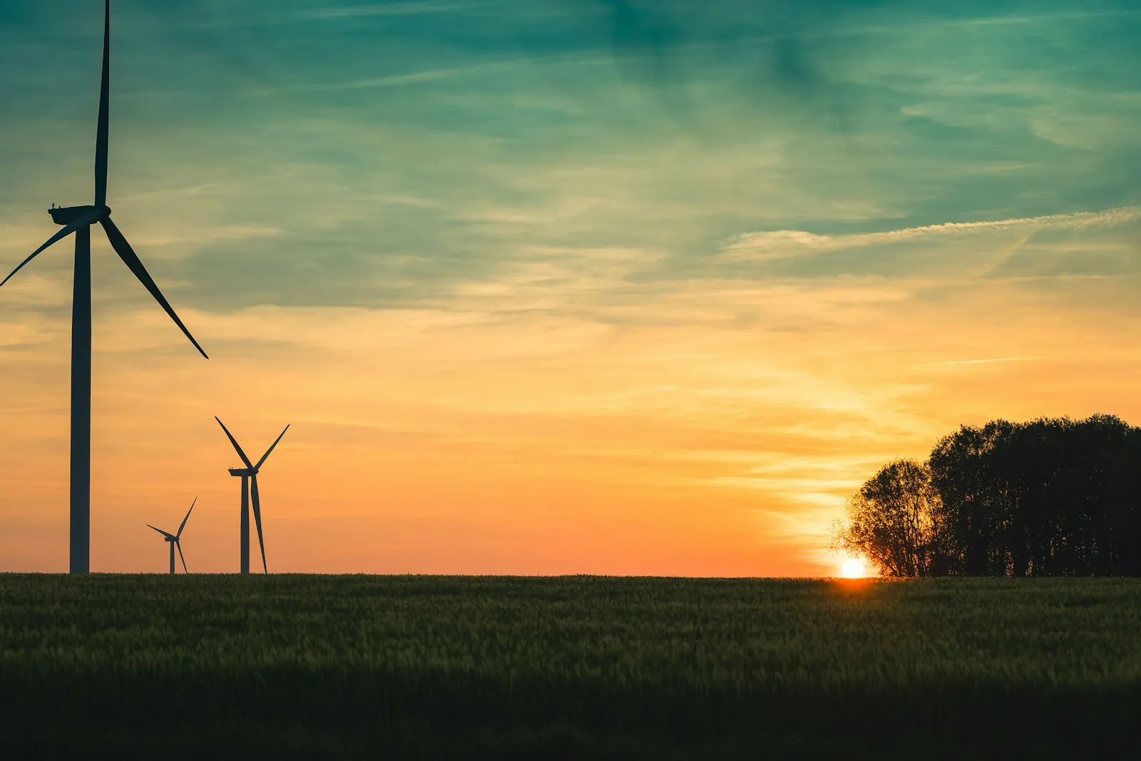
High-resolution imaging
Optical capture from a safe distance, without contact and without interrupting the asset.
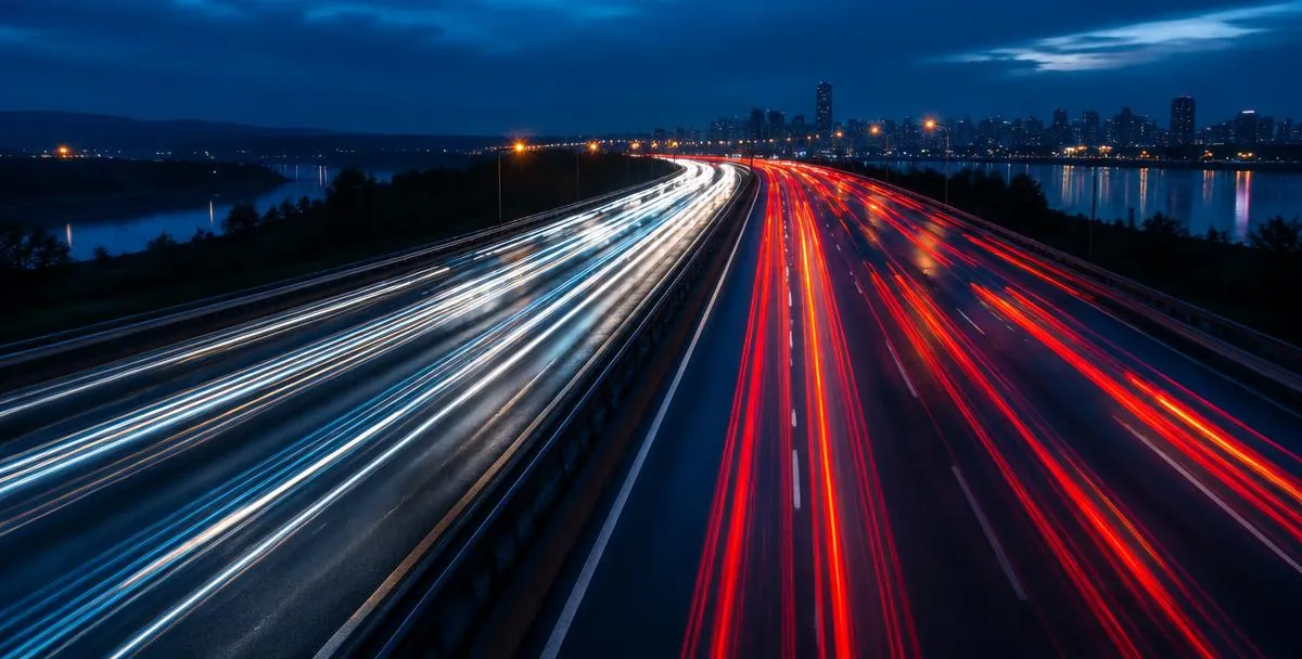
Automatic tracking
The system follows the moving element on its own, frame after frame, through its full cycle.
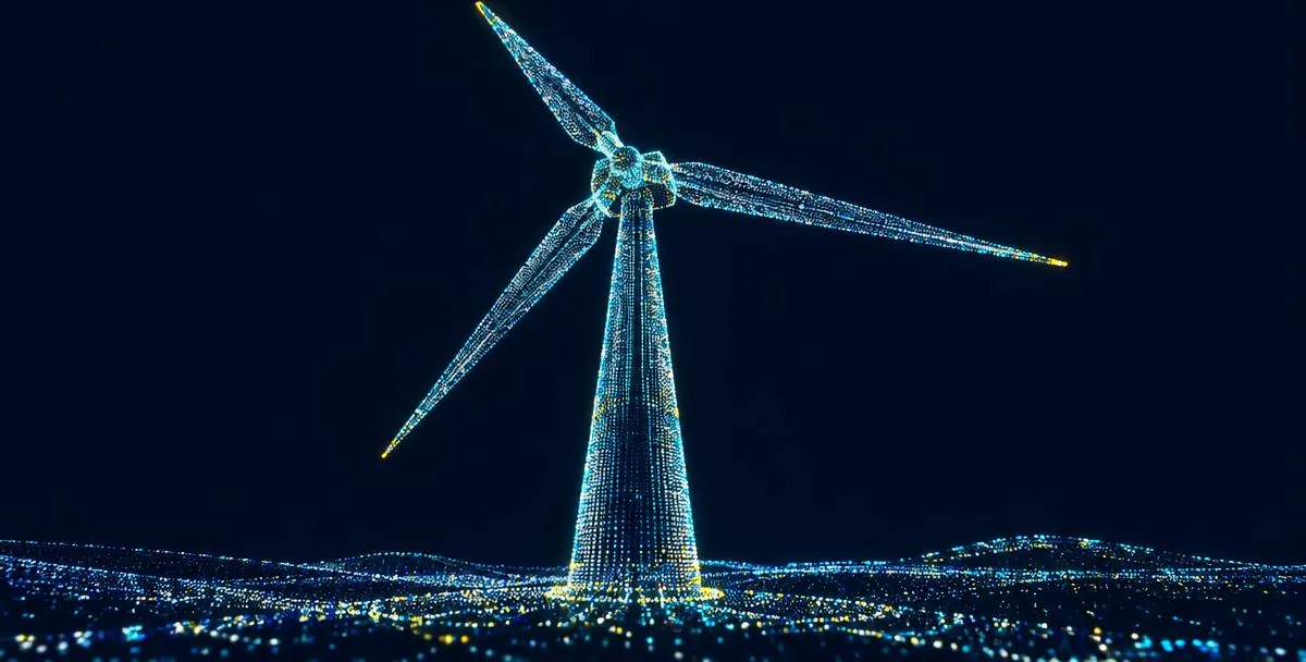
LiDAR & point clouds
Laser telemetry that gives every image its geometry — distance, shape and scale.
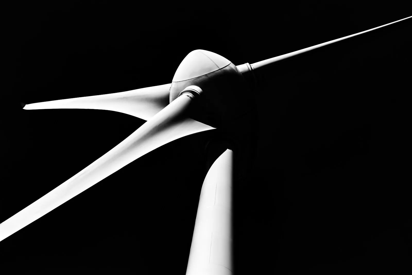
3D reconstruction
Each element rebuilt in three dimensions across its full motion: geometry, structure and surface, in real operating conditions.
Measuring what cannot stop.
Our work in advanced measurement led us to a specific challenge in the wind energy sector: understanding how turbine blades behave during operation. Conventional static inspections cannot fully capture their dynamic behaviour, creating a need for precise measurements without stopping production.
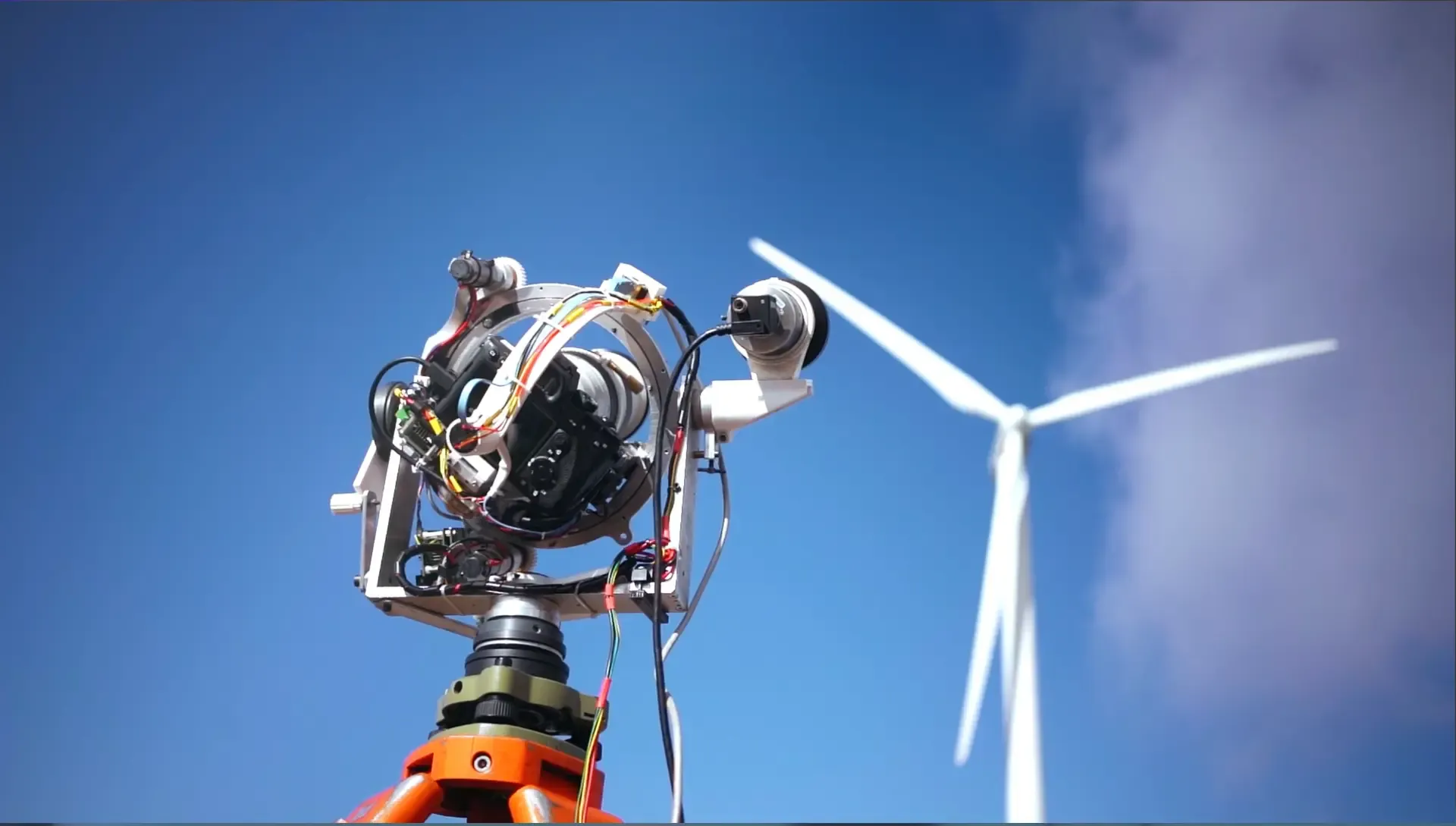
PROPRIETARY TECHNOLOGY · SPIN-OFF POTENTIAL
APEO
Blade metrology in motion — without stopping the turbine.
APEO is a system for remote metrology of structures in motion. It captures high-resolution images of a running turbine and reconstructs each blade in 3D across its full rotation — geometry, structure and surface, measured in real operating conditions. Onshore and offshore.
- Captured from the ground, in operation
- Validated prototype (AENOR)
- Onshore and offshore
Projects, notes and ideas. A look at what we're doing and what we're learning.
Tell us what can't stop.
Wind-farm operators, grid owners, asset managers: tell us which structure you need measured and why stopping it is not an option, and we will tell you how we would read it.