The physical world, captured with precision.
Surveying, cartography, bathymetry and photogrammetry, captured and processed in house.
We capture reality in layers.
Each discipline reads a different layer of the same physical reality — precise, traceable and ours from the source.
Surveying
Field surveys, stake-outs, geodetic networks and civil-works support.
Cartography
Orthophoto and mapping at any scale.
Bathymetry
Reservoirs, rivers, canals and coastal waters, down to the bed.
Photogrammetry
Flights and ground capture with calibrated sensors.
Four technologies behind every layer.
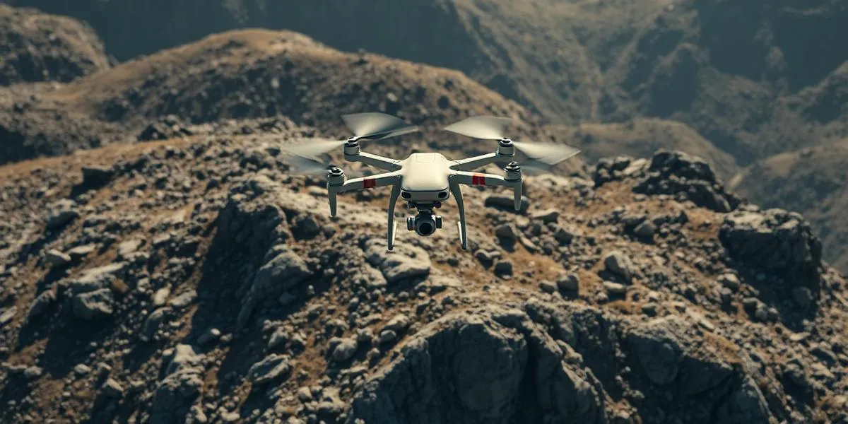
LiDAR
Airborne and terrestrial laser scanning, with our own classification and filtering software.
Aerotriangulation & camera calibration
Geometric reliability and quality control on every job.
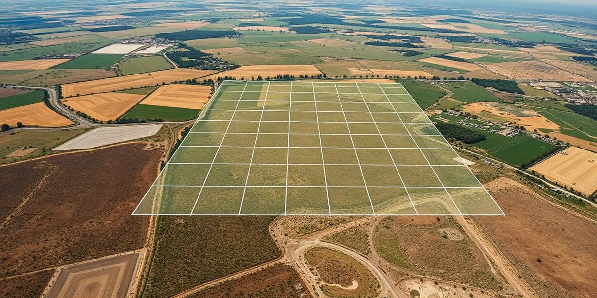
RGB, multispectral and thermal sensors
One capture, several readings of the terrain.
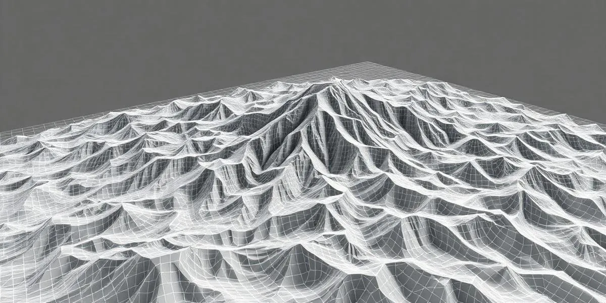
3D modelling, DTM & digital twins
Integrated into the client's BIM and GIS platforms.
Making cartography less manual.
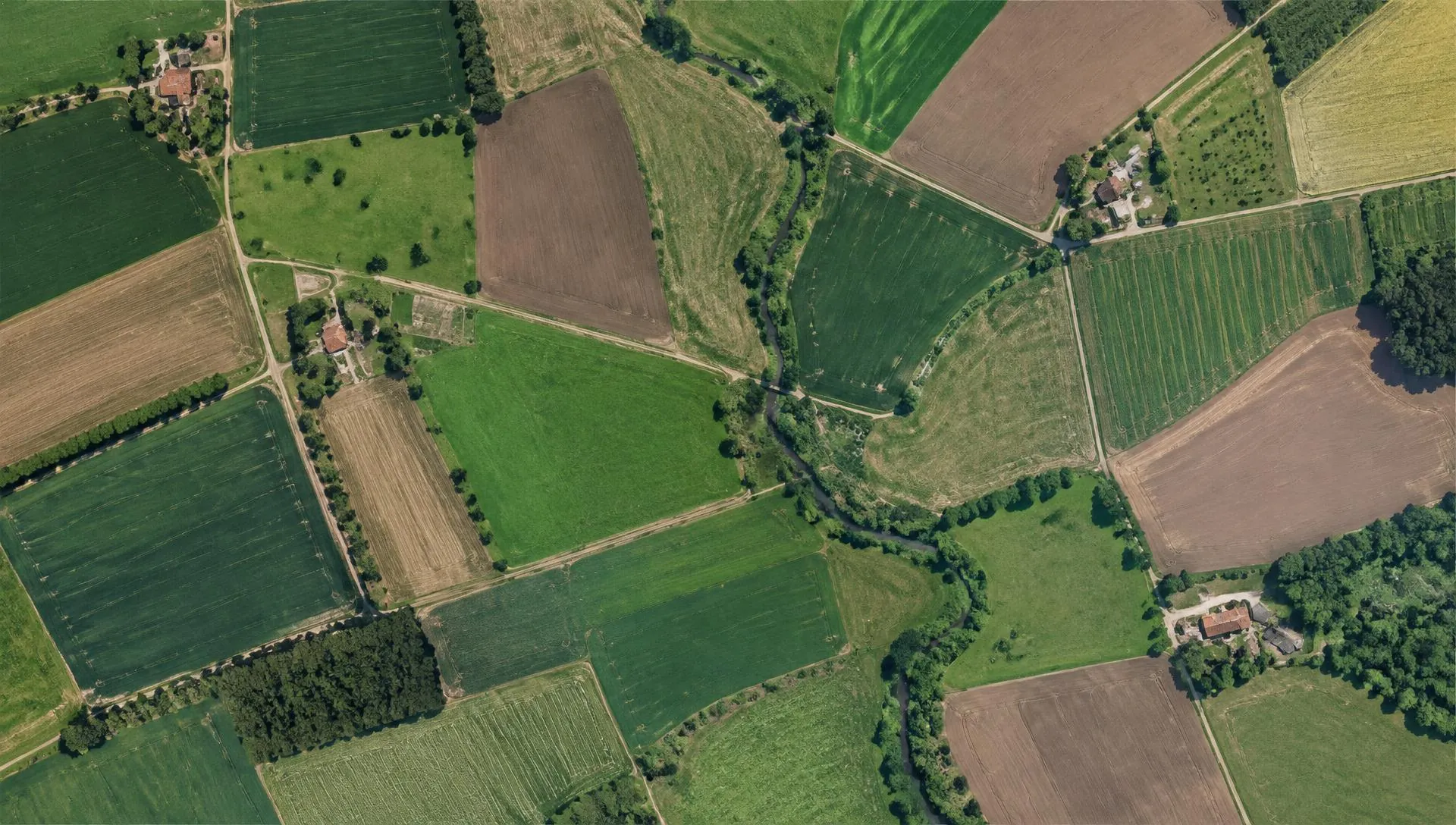
Our experience in geospatial projects revealed an opportunity to improve how cartographic data is produced. Creating accurate maps from aerial imagery requires extensive manual vectorisation, making large-scale production time-consuming and resource-intensive.
PROPRIETARY TECHNOLOGY
Auto-vectorisation
From the orthophoto to the vector map, automatically.
This is what that challenge produced. Developed on our own cartography projects, it reads the aerial image and draws the vector layers a map is made of. For the client it means faster cartography, with every layer produced the same way.
- In-house development
- Orthophoto in, vector layers out
- National mapping programmes
Projects, notes and ideas. A look at what we're doing and what we're learning.
Tell us what you need to measure.
Civil works, energy, water, environment or urban planning: send us the area, the deadline and the decision you have to make, and we will tell you which layer you need.