Territory & Geospatial Data
Surveying, mapping, spatial analysis and the digital representation of physical environments.
At Azimutal, real-world challenges drive technological innovation. We call this continuous process the Azimutal Ring System.
Our innovation is grounded in decades of experience across four interconnected fields. Together, they give us the technical knowledge and real-world perspective to identify opportunities that others may overlook.
Surveying, mapping, spatial analysis and the digital representation of physical environments.
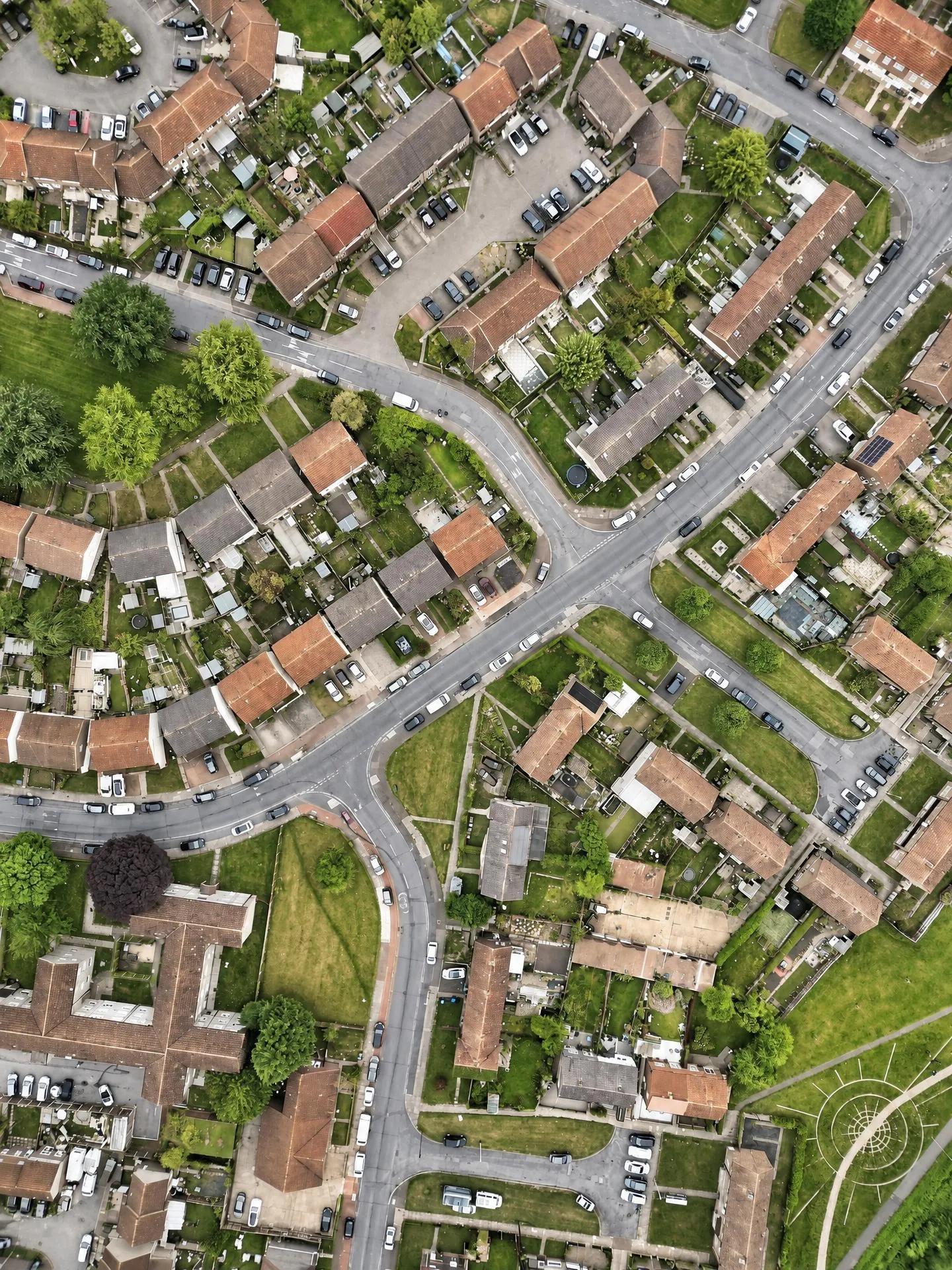
Cadastral information, urban assets, public records and territorial administration.
Advanced capture and measurement of physical assets, including structures and systems in motion.

Inspection, inventory, condition assessment and analysis of infrastructure networks.
Our capacity to develop new solutions has also been supported by research and innovation projects backed by public institutions and funding programmes. These initiatives help us investigate new approaches, validate technologies and expand their potential applications.
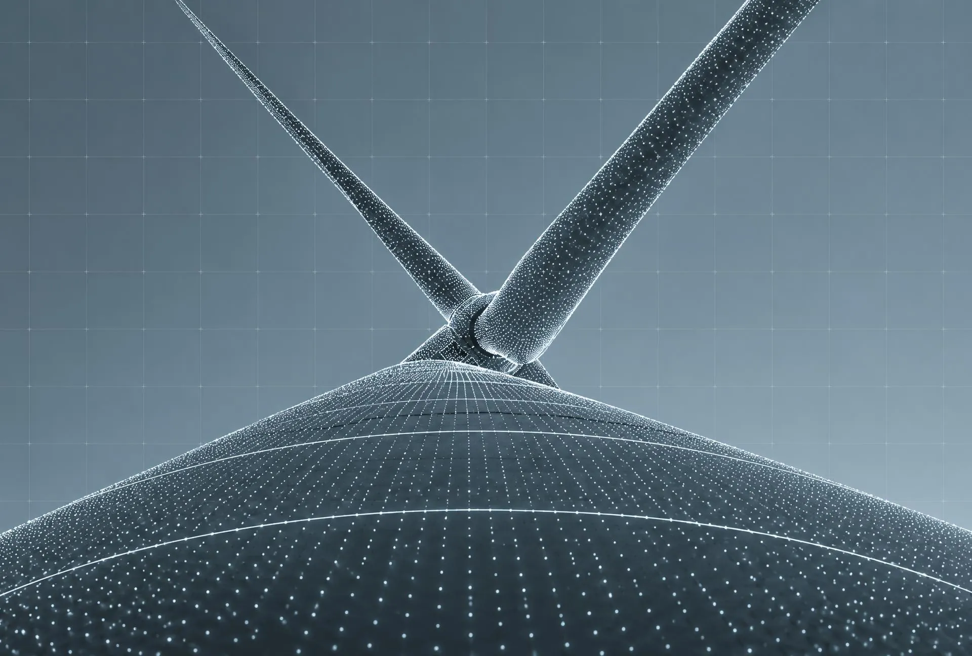
Inspect wind-turbine blades for cracks and deformation while the turbine keeps running — no stopping the machine, no climbing, no drones flying close to the blades.
A moving ground system that finds the turbine in the scene, locks onto the spinning blade and follows it in real time, aiming several cameras at once — visible, thermal and multispectral — plus laser ranging for position. Nothing has to be attached to the blade: every other technique we assessed needs markers, and placing them means stopping the machine.
Sharp imagery of the whole blade and the hub in operation — both faces, leading and trailing edge — in anything from a light breeze to strong wind. On top of it, software that locates each defect and measures it, so an inspection becomes a report, not a stack of photos.

Turn aerial point clouds into proper building cartography — clean vector outlines and roofs — at the level of detail a map needs, even when the capture is sparse and no one has drawn it by hand.
A method that isolates each building inside its block and works out its real shape from the points: flat roofs, pitched roofs, curved and conical forms. It extends a classic image-recognition technique into three dimensions so it keeps working where the data is thin, and it was tested on captures from very sparse to very dense.
Tools we now use every day in our own cartographic production, cutting hours of manual drawing per sheet. The certification report found no algorithm in the literature capable of this operation, and described the result as a technological novelty at world level.

Know, at every moment, exactly where an unmanned floating structure and its moving parts are — position and orientation in all six degrees of freedom, above and below the waterline — so it can be operated and controlled remotely.
The sensor mounts, fixed and repositionable, the algorithms that merge their readings into one reliable picture, and the link that sends it to a remote server. Azimutal leads the sensing and control package of a consortium with Sarens and Esteyco, with testing at the UPM towing tank.
In development. Today there is no integrated solution for this on the market; the aim is a system that any floating infrastructure — energy, port or offshore — could use to know where it is and how it is moving.
Not every technological development follows the same path. Some strengthen our services. Others become market-ready solutions. And some reveal the potential to grow into independent businesses.
A proprietary technological development created to address a specific project challenge, with potential for future applications.
Project-specific developmentA technology-enabled municipal service already in the market, combining data integration and operational expertise.
In marketAdvanced wind turbine measurement technology with an identified market opportunity and the potential to evolve into an independent business.
Spin-off potentialOur commitment to research, development and technological innovation has been recognised through Spain's Innovative SME programme, reflecting our continued investment in turning technical challenges into new solutions.
Over three decades of field expertise, engineering and technological development have shaped the way we identify challenges and create new opportunities.
Discover Azimutal