A municipality cannot manage well what it has not measured well.
It sounds like a line from a manual, but it has very concrete consequences.
A council takes decisions every day on one basis: how many homes there are, what has been built, how the territory has changed. With that information it calculates revenue, sizes services, budgets works and plans the future. And that information, very often, is not up to date.
Not for lack of will. It is that keeping the cadastre up to date by hand, plot by plot, is simply unfeasible. The territory changes faster than anyone can walk it.
Bringing the data up to date without walking the municipality
This is where well-captured data changes the rules.
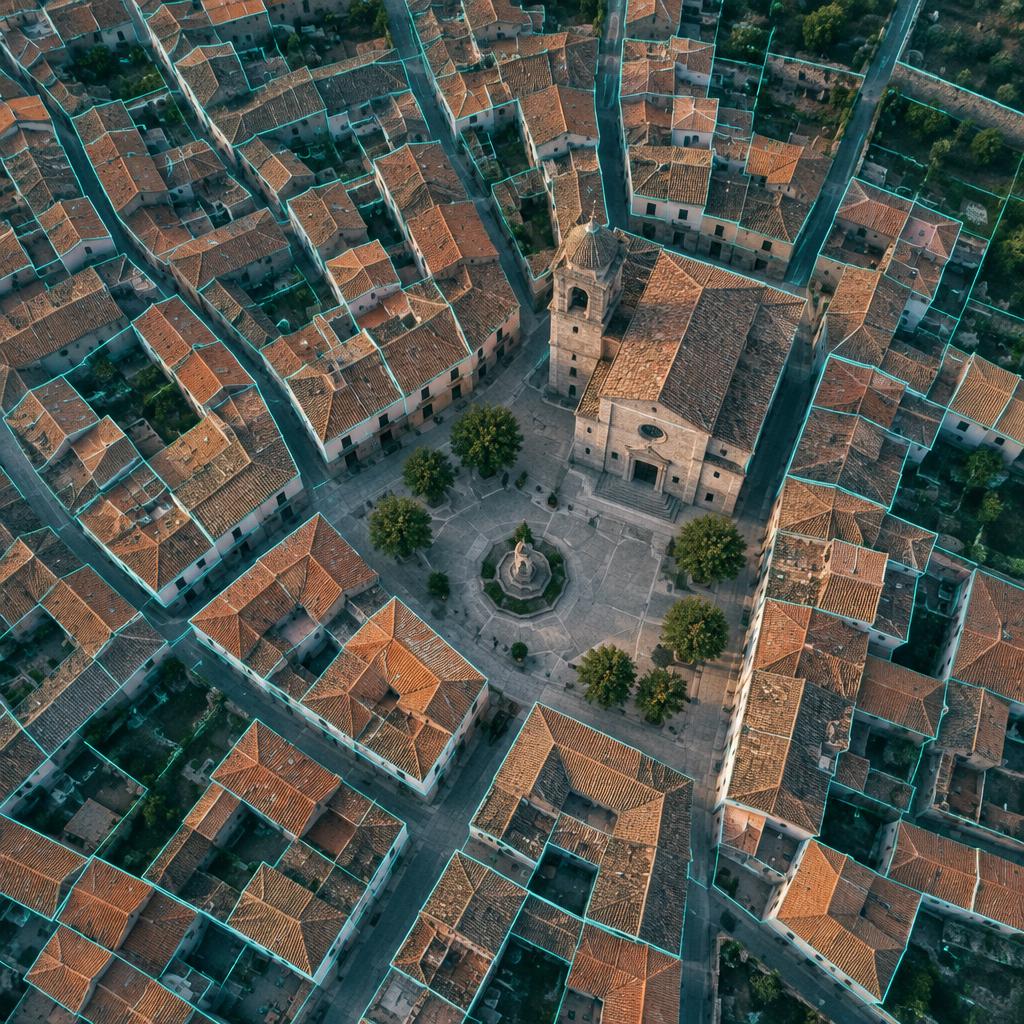
By cross-referencing flight, imagery and the existing cadastral information, what has really changed on the ground is detected: extensions, new buildings, uses that no longer match what is registered. And it is brought up to date systematically, without depending on going door to door.
That is TaxMap: a way for a municipality's information to look like its reality again.
What that makes possible
When the data reflects what is there, everything that rests on it improves. The municipality collects what it is due. Services are sized on the real population, not on an old snapshot. Works are budgeted on a plan that matches the street. And decisions stop being taken blind.
We do not deliver a new plan. We deliver a reliable base on which a council can decide with judgement.
We turn the reality of the territory into information to manage on.
Mapping reality. Shaping decisions.