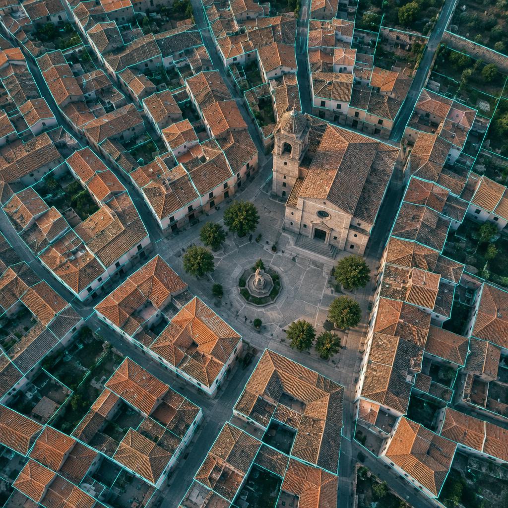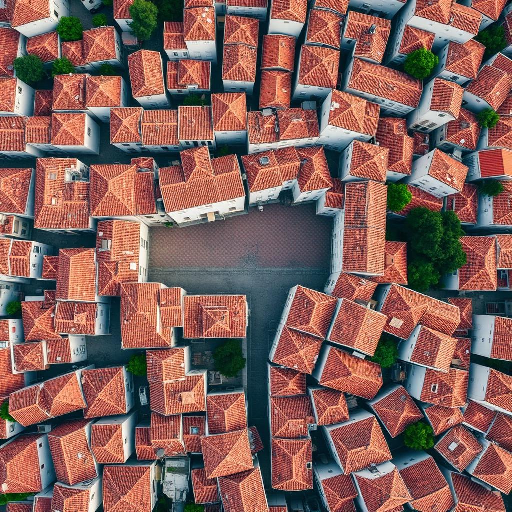
In 2022 the French tax administration set a machine-learning model to compare the national mapping agency's aerial imagery with the cadastre. It was looking for swimming pools. It found 20,000 that nobody had declared. The following year, with the system rolled out nationwide, it found around 140,000 and recovered some 40 million euros in property tax for local councils. The striking thing is not the number. It is that the photographs already existed, the cadastre already existed and the councils were already levying the tax. The only thing missing was the join.
The Spanish cadastre in numbers
Start with the size of the thing. According to the January 2026 figures published by the Dirección General del Catastro, Spain has 40,213,765 urban properties on 14,139,797 urban parcels, 38,720,439 rural parcels and 7,226 "special" properties (dams, motorways, airports, power stations). It is one of the largest territorial databases in Europe, and one of the most open: its vector cartography is free to download, served via WMS and through INSPIRE services, and non-protected alphanumeric data can be queried at no cost.
And it is used. In 2025 alone the cadastre's electronic office issued 19,373,981 certificates, answered 290,567,490 queries on non-protected data, 40,884,580 on protected data and 756,598,793 cartography requests. More than 750 million map calls in a year. Nobody can claim the data is unavailable.
The administrative map is just as large. The INE counts 8,132 municipalities. Of these, 7,610 fall within the Dirección General del Catastro's remit (the rest belong to the foral territories, which run their own cadastres), and 4,987 have a collaboration agreement with it. Two in three councils in the state cadastre, in other words, take a formal part in maintaining it. And yet, in most cases, the council does not really know what is in its own territory.
What the data is worth: property tax
This is not an academic question. The Impuesto sobre Bienes Inmuebles, Spain's municipal property tax, is the backbone of local finance. According to the Ministry of Finance's "Haciendas Locales en cifras 2023", IBI accounts for 46.8 per cent of local authorities' tax revenue, with a collection efficiency of 91.51 per cent. The Registro de Economistas Asesores Fiscales estimates that in 2023 each citizen paid on average 705 euros in local taxes, and that IBI provides two thirds of what councils raise through taxation.
IBI is calculated on the cadastral value. The cadastral value is calculated on what the cadastre believes exists. If the cadastre is missing a floor, a pool, a warehouse or an entire industrial unit, the council does not merely fail to collect: it does not know it is failing to collect. The error never shows up on a list of arrears because, as far as the system is concerned, there is nothing to collect.
What happened when somebody looked: the 2013–2017 regularisation
We have a natural experiment in what happens when the cadastre is compared with reality. In 2013 the Ministry of Finance launched the Procedimiento de Regularización Catastral, a municipality-by-municipality sweep using orthophotos, field inspection and drones to find constructions that were undeclared or wrongly declared. The owner paid a fee of 60 euros per regularised property and the new cadastral value was applied to IBI for the four non-prescribed years.
The results, as reported by El Independiente from Ministry figures in 2018, speak for themselves. In 2017 alone some 900,000 properties were regularised, roughly a third of the five-year target, against a horizon of about three million constructions. The Ministry estimated that the gross IBI liability rose by 705 million euros in 2017 as a result, plus around 40 million in income tax on imputed property income. The plan was funded by the fee: declared cost, zero. And its yield was equivalent to about 5 per cent of annual IBI collection.
Madrid is a good example at scale. Between April 2016 and July 2017 the procedure regularised 35,293 properties in the capital through 14,907 files, adding 13,139,823 euros of IBI for the 2013–2017 period. What is interesting is where the money came from: 84.7 per cent arose from extensions and refurbishments of hotels, offices and commercial buildings; 11.4 per cent from pools; only 3.9 per cent from new construction. These were not illegal villas. They were known buildings whose description had gone stale.
That is the recurring pattern. The data is not missing. The data has expired. The city changes and the database describes the city of fifteen years ago.
How others do it
France chose detection. The DGFiP's "foncier innovant" project cross-references the national mapping agency's orthophotos with the cadastral plan using machine learning. After the 2022 pilot (20,000 pools, around 10 million euros), the system was generalised across the whole country in 2023: around 140,000 undeclared pools and some 40 million euros of additional property tax for municipalities and inter-municipal bodies. Every detection is validated by an official before notification, and the administration itself says the scheme is "intended to extend to other undeclared constructions". It is not flawless: a DGFiP union in Bouches-du-Rhône argues the algorithm's error rate is above 30 per cent and that it confuses removable pools with permanent ones. That is a fair criticism, which is why a human validates. But the starting point is the right one: systematically compare what is there with what is on record.
The Netherlands chose integration. Its system of key registers (basisregistraties) runs on a principle that fits in four words: collect once, use many. Buildings and addresses (BAG), parcels and rights (BRK), large-scale base mapping (BGT), tax valuation (WOZ) and topography (BRT) are separate registers with separate custodians, but every public body is obliged to use them and they are linked to one another. A single house in Arnhem appears with its address, its cadastral parcel, its zoning status, its energy label and its tax value, each datum held in its register of origin and all of them consistent. Kadaster itself acknowledges the underlying problem: whoever pays to collect the data is not always the one who reaps the benefit. That is precisely why, in Spain, the data exists and is not joined up.
The problem is not a lack of data
A typical Spanish council holds, in separate folders, the cadastre (from the DGC), the population register, the taxpayer roll for its own levies, the building-licence files, the road inventory and the planning documents. Each is maintained by a different unit, in a different format, under a different identifier. A building's cadastral reference, its postal address and the taxable person on the IBI bill ought to be three views of the same thing. In practice they do not match, and it is nobody's job to make them match.
So the useful question is not "how many properties are missing from the cadastre?" but "how many properties are described differently in each of the council's databases?". The state answers the first every few years with a regularisation plan. The second has to be answered by the council itself, and continuously, because the city does not stop changing between one regularisation and the next.
What we do with this
At Azimutal we have spent years working for the Catastro on cartography, parcel revision and regularisation. We know the format, the procedures and, above all, the places where the record drifts from reality. That work is where TaxMap comes from, our municipal tax-management tool. The idea is deliberately unspectacular: the council connects its databases in whatever format it already has; TaxMap normalises them, cross-references the layers (cadastre, population register, ownership, case files) and shows them on a modular dashboard. The output is a list of technical and tax inconsistencies with a name and a cadastral reference attached: constructions that appear on a licence but not in the cadastre, bills with no traceable taxable person, floor areas that disagree between sources. It is in use by clients and being rolled out commercially.
Drawing on work by Fundación COTEC and the AIReF on the efficiency of local government, we estimate that between 10 and 15 per cent of local revenue is lost to inefficiency. That is our estimate, not an official figure, and we prefer to say so plainly. But the 2013–2017 regularisation already showed that merely comparing the cadastre with an orthophoto recovered 5 per cent of IBI. Joining in the population register, the licences and the ownership records is the other half of the job that nobody has done yet.
France needed artificial intelligence to find 140,000 swimming pools. In Spain that is not the challenge. The challenge is for a council to be able to look at a building on its own high street and see, on one screen, what the cadastre says, what the licence says and what the tax bill says. What is not joined up does not exist, and what does not exist is not collected.
Sources
- El Catastro en cifras — Dirección General del Catastro, Ministerio de Hacienda, 2026
- Acceso a la información catastral — Dirección General del Catastro, 2026
- Relación de municipios por provincia y comunidad autónoma — INE, 2026
- Se publican las Haciendas Locales en cifras de 2023 — Derecho Local / Ministerio de Hacienda, 2025
- En 2023 un ciudadano en España pagó una media de 705 euros por tributos locales (Panorama de la fiscalidad local 2024, REAF) — El Derecho / Europa Press, 2024
- Montoro araña una factura millonaria en IBI e IRPF al regularizar 900.000 inmuebles en el Catastro — El Independiente, 2018
- Resultados de la regularización catastral en Madrid — Ayuntamiento de Madrid (Diario de Madrid), 2017
- El plan de regularización catastral — Garrigues, 2017
- 20 000 piscines détectées par l'IA — Acteurs Publics, 2023
- Taxe foncière : la détection des piscines non déclarées a rapporté 40 millions d'euros au bloc communal — Maire-Info (AMF), 2024
- Key registers in the Netherlands — Kadaster (presentation at swisstopo), 2024