A piece of infrastructure data is not a permanent photograph. It is a photograph with an expiry date.
And the dangerous part is that the date is not written anywhere.
In 2003, a tree branch that had grown more than expected touched a high-voltage line in the United States. Hours later, some fifty million people were without electricity. There were other causes chained to it — systems that did not warn, decisions taken blind — but the origin was that: a corridor someone had measured, cleared and signed off some time before.
The report said everything was correct. And it was. On the day it was signed.
The terrain does not stand still
Trees grow. Ground settles. Structures deform. Assets age. An impeccable survey from ten years ago describes a place that today is no longer exactly like that.
The problem is that expired data does not throw an error. No alarm goes off. It still opens, still looks correct, and decisions — on maintenance, investment, safety — keep being taken on it as if it were still true.
That is why, for power grids, roads, linear assets and critical infrastructure, measuring once is not knowing. It is having known.
Measuring reality again
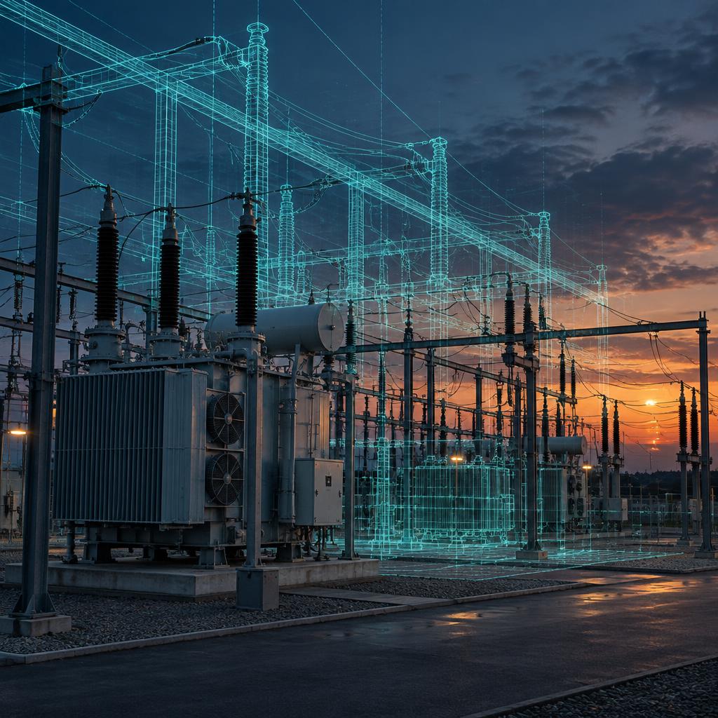
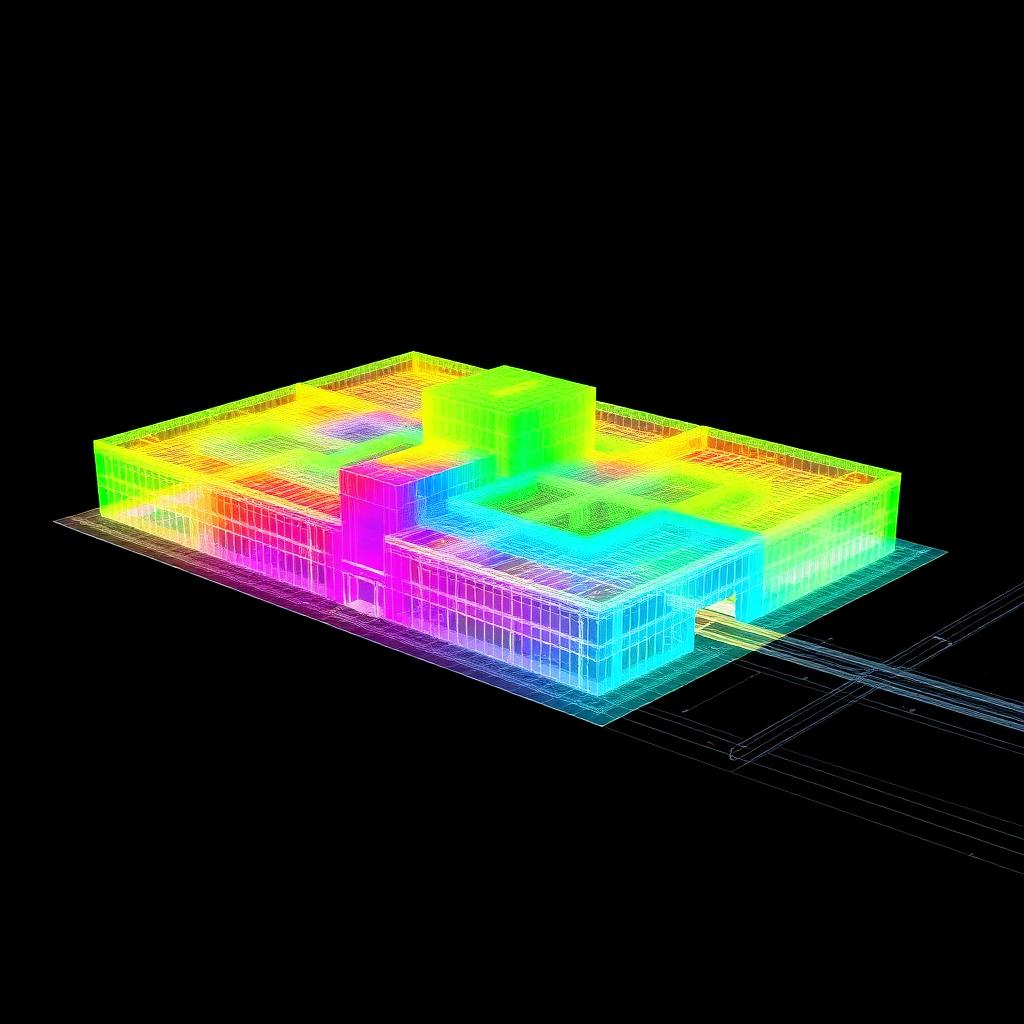
What we do is keep the data attached to reality: capture the current state of the infrastructure and its surroundings, precisely and recurrently, so that decisions are taken on what is there now and not on what used to be.
The important question is almost never whether your inventory was good.
It is how old it is.
Mapping reality. Shaping decisions.