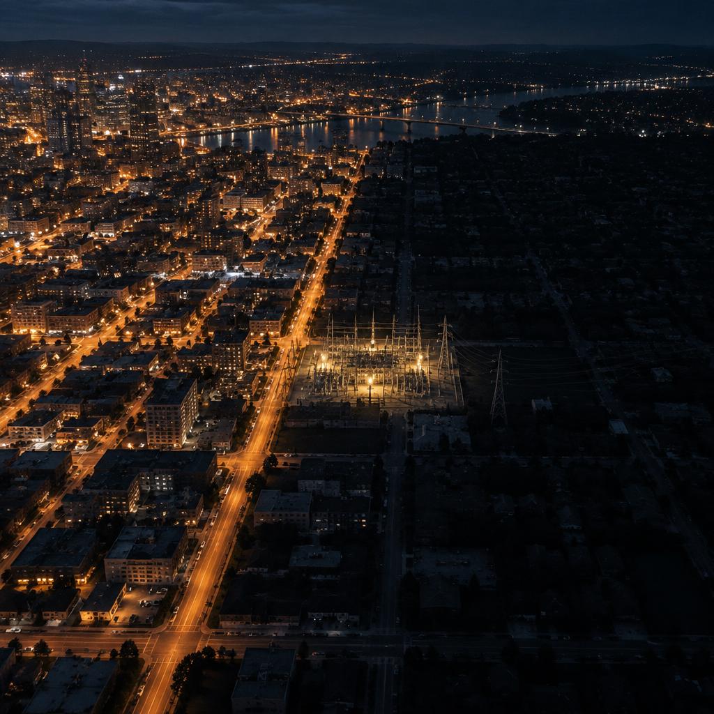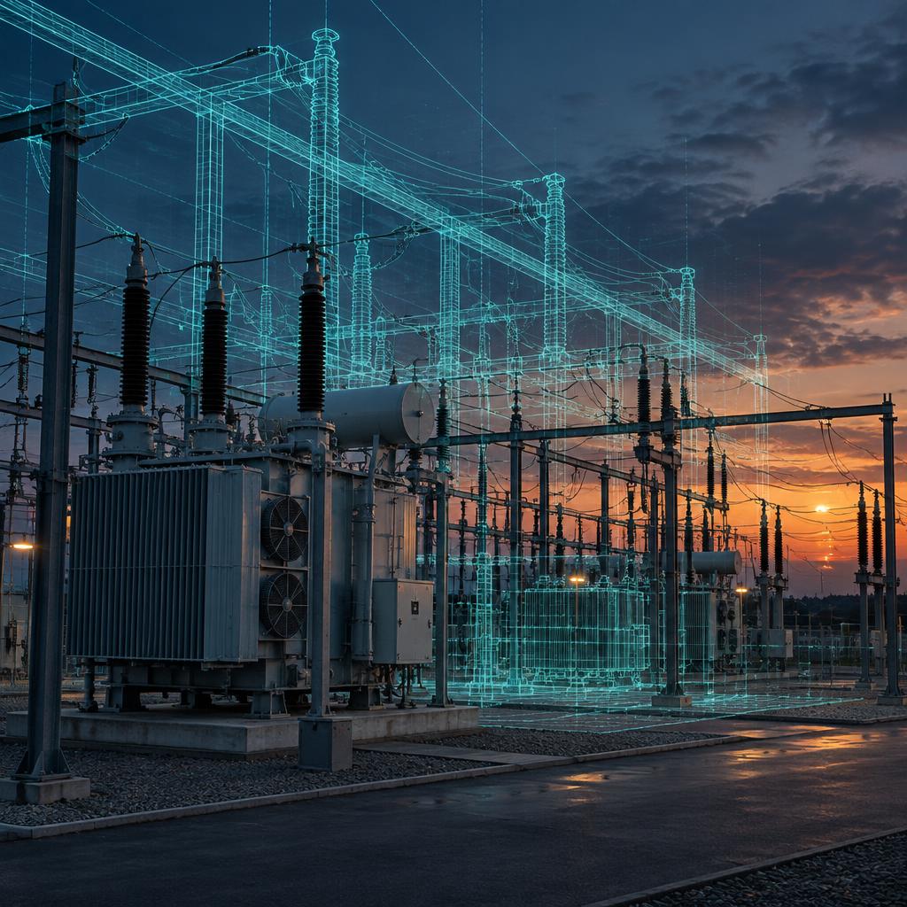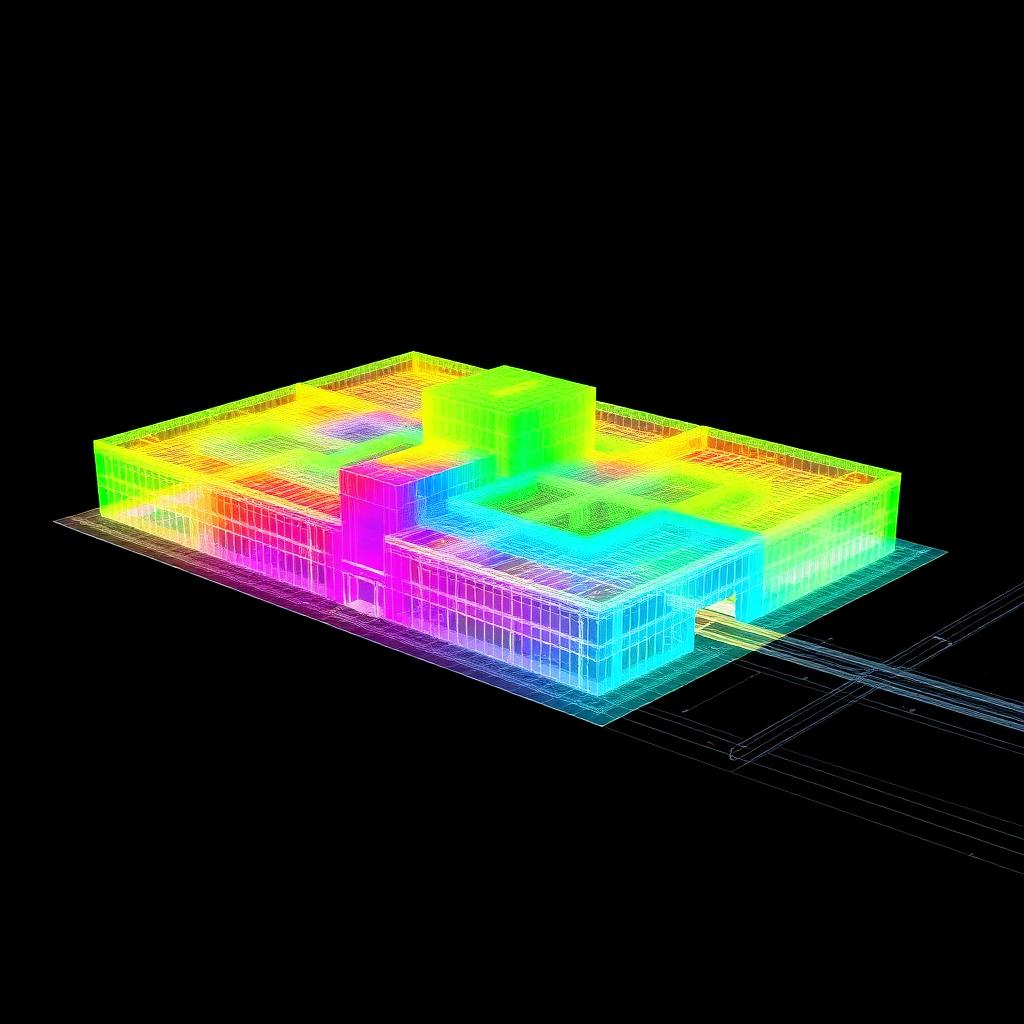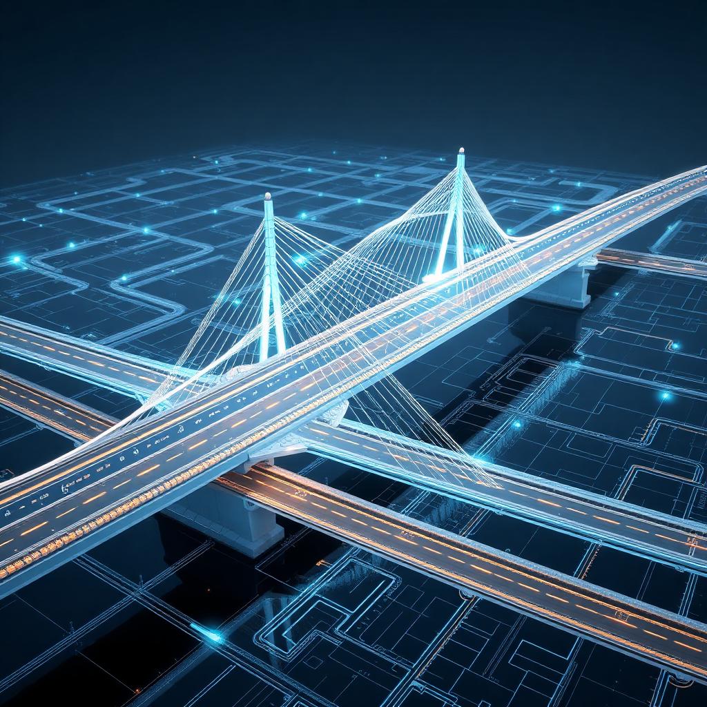
Ask the owner of an electricity grid where the information about a substation lives and the answer is usually: in several places. Plans in one, photographs in another, technical reports in a third. The inventories delivered after each survey are static documents, hard to keep up to date, and there is no spatial, navigable view of the asset as a whole. That is the problem a digital twin solves.
What a digital twin actually is
For infrastructure, a digital twin is a structured 3D model of the asset in which every component is located, identified and inventoried — not a rendering, but a dataset you can navigate freely, attach documentation to and, in time, connect to sensors. The model and the inventory are one and the same thing: when you click a component you are reading its record.
Why it changes maintenance
- One source instead of many. Plans, photographs and technical data converge in a single navigable base.
- An inventory that can be kept alive. Because the inventory is the model, updating one updates the other.
- Far less manual work. The inventory of every component is generated from the multisensor capture, automatically.
- Room to grow. Documentation can be added and future sensors integrated on the same model.
GridScan
GridScan is the technology we developed for one specific job: inventorying an electricity grid. From the multisensor capture of substations and lines it generates a digital twin of the network and the inventory of every component in it. It was developed on real grid projects and is in use by clients today. It is Ring 02 of our Ring System — a technology still in development, already at work.
The same approach applies to any network a country runs on: energy, water, transport. Each infrastructure needs its own way of being digitised and inventoried; the principle does not change.